Schools, Shopping and Getting Around Near Blossom Trail
In this article
Blossom Trail sits at 5505 Begonia Circle in Greenacres, in a part of Palm Beach County that's close to a real mix of everyday shopping, healthcare, and things to do—without being built around any single attraction. Here's what D.R. Horton's own neighborhood map points to, plus how to actually get around once you're living there day to day.
Schools
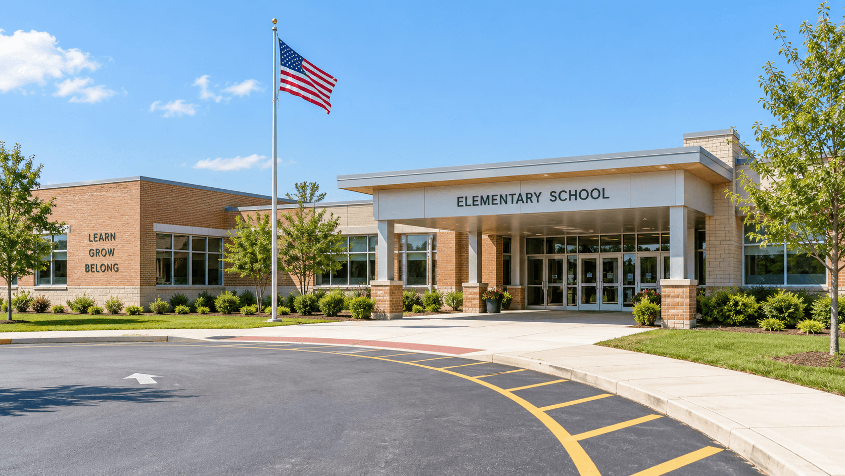
We won't tell you which school Blossom Trail is assigned to, because attendance boundaries change, and only the district's own tool can confirm it for a specific address—a builder's brochure can go stale on this point long before the home itself does. D.R. Horton's neighborhood map does name three schools as nearby: Diamond View Elementary School, Tradewinds Middle School, and Santaluces Community High School, all part of the School District of Palm Beach County.
For an actual assignment, use the School District of Palm Beach County's Find My School tool, which takes a specific address and returns the zoned elementary, middle, and high schools for that address. Boundaries can shift year to year as the district grows and adjusts capacity, so it's worth confirming directly rather than relying on what a builder's map showed at the time a community was announced.

Grocery and everyday shopping
D.R. Horton's own materials for Blossom Trail point to a Trader Joe's and a Walmart Supercenter as nearby grocery options—a useful mix between a specialty grocer and a full supercenter for regular shopping trips. For bigger shopping trips, The Mall at Wellington Green is named as a nearby destination, with the range of stores and restaurants that come with a full regional mall, from anchor department stores down to smaller specialty shops.
As with any restaurant or retail recommendation, businesses do change owners, hours, and names over time, so it's worth confirming a specific location is still open before making a special trip, especially for anything you haven't visited recently—a quick search or phone call before heading out can save a wasted drive.
Education and things to do
Palm Beach State College is named as nearby for anyone considering continuing education close to home, whether that's a degree program, a certificate course, or continuing education classes later in life. For things to do, the builder's own map points to Okeeheelee Park, the Palm Beach Museum of Natural History, Calypso Bay Waterpark, and the Palm Beach Zoo—a real mix of outdoor space, a museum, a waterpark, and a zoo, all within reach of Blossom Trail and none of them requiring a special trip across the county.

The South Florida Fairgrounds also sits nearby, which hosts a rotating calendar of events throughout the year, from the county fair to concerts and other gatherings—worth checking their own event calendar for what's currently scheduled, since it changes throughout the year and a specific event date isn't something worth publishing here where it would quickly go stale.
Healthcare, close by
JFK Medical Center is named on D.R. Horton's neighborhood map as a nearby hospital—a real, practical thing to know before you need it rather than after, and worth noting even if it's not top of mind when touring floor plans. Having a full-service hospital within a reasonable distance is one of those unglamorous location details that ends up mattering more than almost anything else on a neighborhood map once you actually need it.
Getting around
Blossom Trail sits along Haverhill Road, which is the most direct route in and out of the community. Haverhill Road connects to Jog Road, one of the main north-south corridors through this part of Palm Beach County, and to Lake Worth Road, a major east-west route. Together, those three roads put most of central Palm Beach County within reach without needing to cut through downtown traffic.
For anyone commuting toward the coast or downtown West Palm Beach, Jog Road and Lake Worth Road both connect to the larger arterial roads that run the length of the county. We won't quote a drive time here, since traffic varies enough by time of day that any specific number would be misleading—but the road network itself is straightforward and doesn't require backtracking through residential streets to reach the main corridors, which makes daily commuting simpler than in some more winding parts of the county.
Putting it together
What stands out about Blossom Trail's location isn't any single attraction—it's the combination of practical, everyday options (grocery, a hospital, schools) sitting alongside genuine recreation (a waterpark, a zoo, a large regional park) within a short trip of Begonia Circle. That's a useful profile for a family actually living day to day in a community, rather than a location built around one specific draw, and it's worth weighing all of it together rather than any single amenity in isolation.
A note on researching any location yourself
Everything named in this guide comes from D.R. Horton's own neighborhood materials for Blossom Trail, cross-checked where possible. We'd still encourage anyone seriously considering the community to spend some time driving the actual roads at different times of day, visiting the specific grocery stores and parks named here, and confirming directly with the school district which schools a specific address is zoned for before making a final decision—a builder's neighborhood map is a helpful starting point, not a substitute for seeing the area yourself.
That's also the best way to get a genuine feel for the drive to work, the commute at rush hour versus a weekend morning, and whether the mix of nearby amenities actually matches how your household spends its time day to day. A map is a starting point; a couple of actual visits at different times tells you far more than any list of nearby names ever could.
Common Questions
What schools are near Blossom Trail?
D.R. Horton's neighborhood map names Diamond View Elementary, Tradewinds Middle School and Santaluces Community High School as nearby. For an actual assignment, use the School District of Palm Beach County's Find My School tool.
Is there a grocery store near Blossom Trail?
Yes -- D.R. Horton's materials point to a nearby Trader Joe's and Walmart Supercenter.
What hospital serves the Blossom Trail area?
JFK Medical Center is named on the builder's neighborhood map as the nearby hospital.
What roads connect Blossom Trail to the rest of Palm Beach County?
Haverhill Road runs past the community directly, connecting to Jog Road and Lake Worth Road, two of the area's main corridors.
What are some things to do near Blossom Trail?
Okeeheelee Park, the Palm Beach Museum of Natural History, Calypso Bay Waterpark, the Palm Beach Zoo, and the South Florida Fairgrounds are all named as nearby on the builder's own materials.
Is there a mall near Blossom Trail?
Yes -- The Mall at Wellington Green is named as a nearby shopping destination.
Want to see the neighborhood firsthand? Schedule a visit to Blossom Trail or call 561-704-0091.
Curious about the gated entry and amenities? Read is a gated community worth it? For the buying process, see buying new construction in Greenacres. Compare the two townhomes in Bella vs. Terra, and start with our full buyer's guide to houses for sale in Greenacres, FL if you're just getting started.